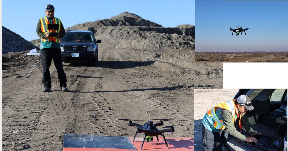
ASG Mapping Ltd provides data collection services using Remotely Piloted Aircraft Systems (RPAS) and provide geo-enabled data for applications in stockpile management, landfill management, and 3D reality capture/virtual surveying. These applications have proven to be highly conducive to the use RPAS. The technology provides a better alternative to the "dirty" and "dangerous" traditional methods for collecting data used in volume calculations stockpile management. The same is true for collecting data used to calculate settlement, compaction, and the remaining airspace necessary to efficiently manage landfills.
Miniaturization of electronics and advancements in computing have allowed for the use of RPAS as an efficient and cost-effective technology for the collection of geo-enabed data. Data products derived from RPAS can increase productivity and efficiency. The digitization of workflows and processes associated with the use of these data products such as orthomosaics, point clouds, Digital Elevation Models (DEM), oblique imagery, and Full Motion Video (FMV) contribute to reduced processing time and superior results.
Data produced using RPAS gives the ability to use 3D reality capture and virtual surveying techniques to optimize various stages of the land development process. This is done by integrating data produced from 3D reality capture and virtual surveying into the software and tools used in Building Information Modelling (BIM) and GeoDesign. BIM and Geodesign tools are increasingly being used in the land development process. For example, data can be used to map current conditions and perform 3 D visualization to support the pre engineering design stage These data can also be used to explore alternative design scenarios UAV data can be used for monitoring project status during the construction stage Data collected using UAVs can be used to create as built maps for recording purposes at the end of the construction project Finally, RPAS data can be used to extract information about an organization’s assets and store that within a GIS database to be used for operational and maintenance activities.
ASG Mapping Ltd leverages its geomatics expertise by developing partnerships and collaborations with other technology-driven companies that develop systems suitable for use in geomatics..